Sunday, September 25, 2011

The High Line, New York City, 2011


Once upon a time, there existed an elevated rail line that served the lower-to-mid Manhattan west side, and the meat packing industries that flourished there. At certain locations, the rail line actually went through buildings to make loading and unloading the rail cars easier. Completed in 1934, the freight line eventually became obsolete and the southernmost section of elevated track was torn down in 1960. The final train, carrying frozen turkeys, made its run on the remaining track in 1980.


All photos © 2011 by Ken Bausert
unless otherwise noted.

Considered a useless relic and eyesore by many, there were lots of people who wanted to tear the rest of the structure – from just below 14th to 34th Streets – down in the 1990s. Fortunately, city government red tape and lack of funding delayed any demolition and today, the remaining portion of the elevated railway has morphed into New York City’s newest tourist attraction and neighborhood park: The High Line Park. Some unique views of New York City are now enjoyed by residents and visitors alike.

Recently, National Geographic Magazine published a great article on the park in its April, 2011, issue (some of the facts mentioned here are gleaned from that text). The first section of The High Line, running south to north, just west of 10th Avenue, from Gansevoort Street to 20th Street, was opened to the public in June, 2009 (the remaining section, up to 30th Street, opened this past summer of 2011). After reading the Nat Geo piece, Ro and I decided to pay a visit to the park and enlisted some friends to join us; the photos displayed here are from two separate visits.
(As always, click on any photo to enlarge it;
click on it a second time to further enlarge it.)

Above: the northern terminus, at 30th Street.

Above: looking down at 30th Street from the
northern terminus.
What follows are assorted photos from
along the High Line Walk;
I don't think any descriptions are needed.


A concrete paved surface winds its way among wild flowers, trees, and shrubs, just a stone’s throw from old and new buildings housing families and businesses on either side. I understand that some local residents are less than pleased with this new lack of privacy, however.


First visit on May 29, 2011 with (left to right):
Ken, Eileen, Doris, Ro, Jim, and Bob.

Second visit on July 2, 2011 with (left to right):
Ken, Dottie, Bill, Fran, and Fred
(Ro took the photo).

After exiting the High Line at its southern terminus,
it's a short walk west to the Hudson River and
Riverside Park, from where you can see the air
vents for the Holland Tunnel rising
above the river near Canal Street.

Friday, June 24, 2011

February Getaway to St. Maarten


I've finally gotten around to posting some photos from our February, 2011 trip to the French/Dutch island of St. Martin/St. Maarten. I won't bore you with lots of historical facts and everything we did on a day-to-day basis but simply annotate each photo, to let you know what & where everything is. If you really want to know more about St. Maarten, you can easily check it out on the internet. However, if anyone has any questions (or wants tips) on visiting the island, I'd be glad to answer/provide them.
As always, comments are welcome and click on any image to enlarge it.
Click on it a second time to further enlarge it.

View of (mostly) the Dutch (southern) side of the island from my window on the plane.

Close-up of Philipsburg, the capital of the Dutch side.

The port on Great Bay, Philipsburg, where the cruise ships dock.

Our villa (first building on left, second floor,
overlooking Great Bay)
at the Divi Little Bay Resort.

View looking over our villa (building in center of photo).

View from the balcony of our villa.

View from our balcony.

Looking toward the cruise ship docks on the other side of Great Bay,
from our balcony, with a ship approaching (on the right).

Telephoto shot from our balcony.

Small infinity pool at east end of Divi property,
overlooking Little Bay in background.

View from old Fort Amsterdam, at the tip of the Divi property,
overlooking Little Bay.

Looking toward the east end of the property from Gizmo's Beachside Café.

Gizmo (the mascot of the beachside café).

Looking west along the Divi beach on Little Bay.

Looking east along the Divi beach.

A poolside café toward the east end of the property.

Happy Hour at Gizmo's café with Ken & Ro.

Villas at the east end of the property, photographed
while standing chest-high in the water, late in the day.

Sunset, viewed from Gizmo's Café.

Same sunset, a little later.

Three people watch another sunset, while sitting on the edge of a pool.

Front Street, the old main street in Philipsburg.

Brightly-colored restaurant, typical of the
Caribbean island style, in Philipsburg.

Old courthouse in Philipsburg.

Visitors take a Segway tour of "boardwalk"
along side the beach in Philipsburg.

Historic old church in Philipsburg.

Public beach area on the northeast (French) side of the island,
with fog and rain clouds threatening.

Le Gallion Beach, on the north (French) coast of the island.

Looking back at the beach seen in the previous shot
from the other side of the lagoon.

Looking across the lagoon at Le Gallion Beach
as rain clouds threaten.

Heavily pock-marked volcanic rock
on the extreme north coast of the island,
just past Le Gallion Beach.

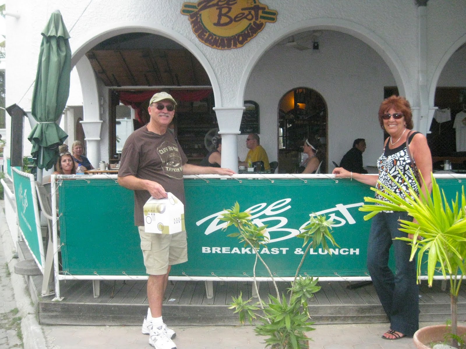
Breakfast at Zee Best on the way to the airport
before heading home. (GREAT pastries!)